

How to Read a Surf Forecast: A Beginner's Plain-English Guide

You've booked your first surf lesson, but checking the surf forecast looks like reading a foreign language. Swell height, swell period, wind direction, tide... what does any of it actually mean?
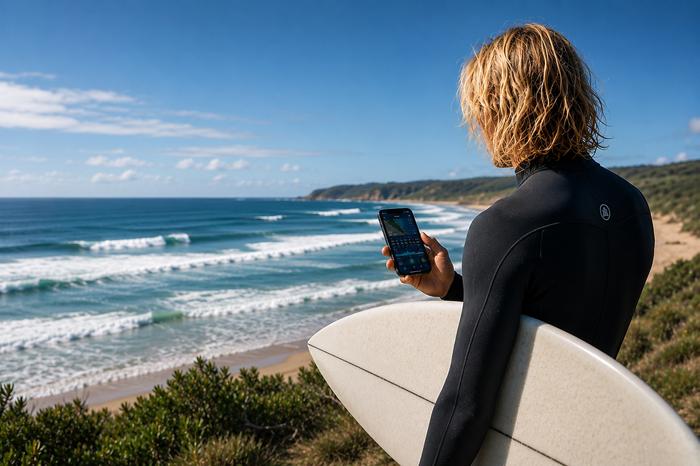
This guide breaks down every term you need to understand, in plain English, so you can plan your sessions intelligently and start to read the ocean before you even get in the water.
Why Surf Forecasts Matter (Even for Beginners)
Experienced surfers check the forecast before every session. It's not obsessive — it's efficient. Showing up when conditions are 2 metres and onshore is frustrating and potentially dangerous for a beginner. Showing up when it's 0.5–1 metre, clean, and offshore is exactly where your learning accelerates fastest.
Understanding forecasts also teaches you to "read" the ocean — a skill that makes you a safer and more capable surfer over time.
The Key Terms, Explained
Swell Height
This is the size of the waves. Most Australian forecast sites show swell height in metres. For beginners, 0.5–1.5 metres is the ideal range — manageable, wave-shaped, and forgiving. A 3-metre swell is absolutely not beginner territory.
Note that forecast sites sometimes show swell height from the back of the wave (which reads smaller) and sometimes as face height (which reads larger). Swellnet and Willyweather use back-of-wave measurement.
Swell Period
This is the time in seconds between successive wave sets — and it's arguably more important than height. A 1-metre swell with a 10-second period feels very different from a 1-metre swell with a 16-second period.
Under 8 seconds: choppy, disorganised, harder to surf
10–14 seconds: well-formed waves with clear faces — good for beginners
15+ seconds: powerful, clean, fast — exciting for experienced surfers, potentially overwhelming for beginners
Wind Direction
Wind is the most important factor in surf quality.
Offshore wind blows from the land out to sea. This smooths the wave face and holds waves up — ideal conditions.
Onshore wind blows from the sea toward the land. This creates choppy, crumbly waves that are much harder to surf and less enjoyable.
Cross-shore wind blows along the beach — neutral to slightly negative.
To know whether wind is offshore or onshore, you need to know which direction your beach faces. A beach facing east has offshore wind when the wind is from the west.
Wind Speed
Even perfect offshore winds become a problem when they're too strong. Light to moderate offshore wind (under 15 knots) is ideal. Strong winds of any direction add chop and make paddling significantly harder.
Tide
Waves break differently at high tide, mid tide, and low tide — and the effect varies by beach. Some spots work best at low tide (producing hollow, fast waves); others are better at mid or high tide (softer and more forgiving). For most beginner-friendly beach breaks, mid tide tends to offer the most consistent and accessible conditions.
Australian tide tables are available at WillyWeather (tides.willyweather.com.au) and the Bureau of Meteorology (bom.gov.au/australia/tides/).
Putting It Together: What to Look For as a Beginner
The ideal beginner session forecast looks something like this:
Swell height: 0.5–1.5 metres
Swell period: 10–14 seconds
Wind: light offshore (under 15 knots) or very light onshore
Tide: incoming mid tide

If you find a morning where those boxes are ticked, get in the water. The ocean rarely offers perfect conditions — but understanding what you're looking for helps you choose the best available window.
The Best Forecast Tools for Australian Surfers
Swellnet — Australia's best local surf forecast site, with written expert reports, live webcams, and detailed swell analysis
Surfline — Global forecasts with excellent visualisations and hourly breakdowns
WillyWeather — Wind and tide data in a clear, simple format. A good everyday tool for checking conditions
Windguru — Detailed hourly wind forecasts, favoured by wind-sensitive surfers and kiters
You can find direct links to all of these — plus the latest Australian surf news and competition updates — on our News & Resources page at learnsurfing.com.au/stay-inspired.
Start Checking, Start Learning
Reading a surf forecast is a skill that develops with practice. Start checking forecasts before every session, then note what the actual conditions look like when you arrive.
Over time, you'll build an instinct for translating numbers into the real thing.
The ocean always has the final say — but understanding the forecast makes you a smarter, safer surfer from day one.
Bookmark our News & Resources page at learnsurfing.com.au/stay-inspired for links to Australian surf forecasts, live cams, tide tables, and local surf news — updated regularly.


Comments